
Transportation
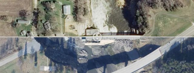
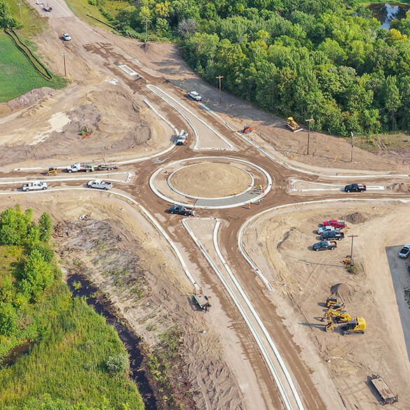
Experience working for private, local, state, and federal organization's transportation projects.
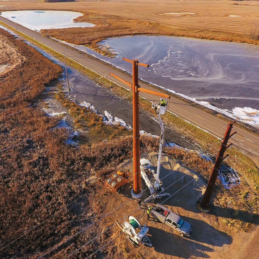
Utilities
Utility corridor acquisition and classification for design, load analysis, vegetation encroachment and more.
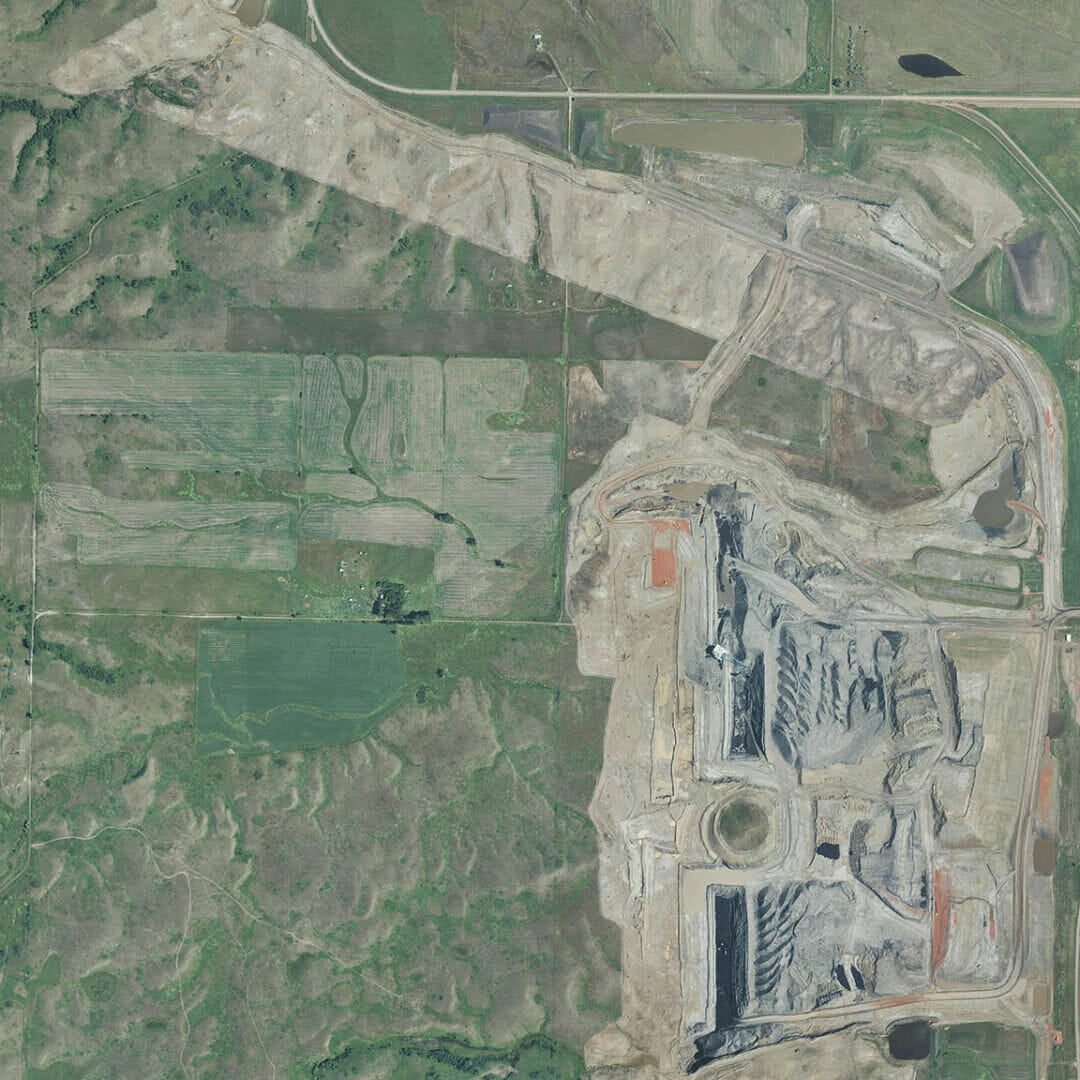
Mines and Quarries
Accurate, timely delivery, for a greater perspective of your site
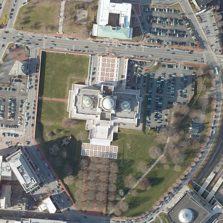
Government
Aerial services to solve problems and make well-informed decisions for your communities.
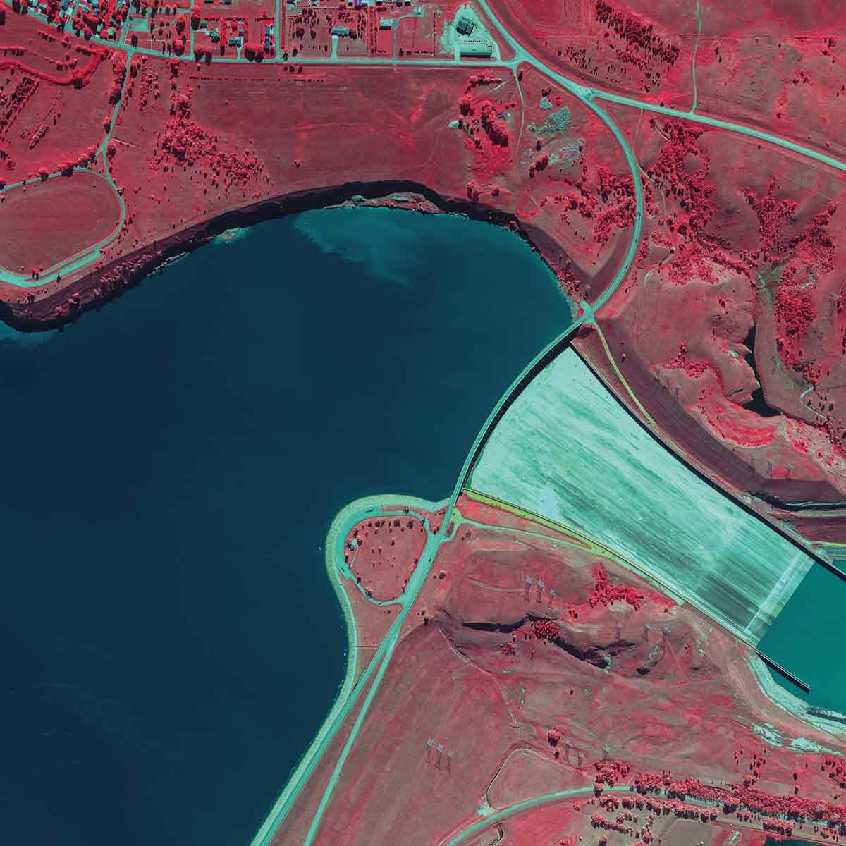
Forestry and Natural Resources
Aerial imaging and Lidar to help manage forests, rivers, watersheds, wildlife habitats, and other public lands.