Meet our Top-Notch Team of Aerial Mapping Professionals
95West is comprised of professionals who are among the best in the industry. Our team includes two pilots, two certified photogrammetrists, multiple licensed surveyors, certified mapping scientists and technologists, UAS Remote Pilots, and GIS professionals to meet your project needs. Our experience brings a level of efficiency to your project that is unparalleled. We use the latest state of the art technology to the fullest, which means you get the best value for your money. Our team is stacked with experts and support staff. Meet our core aerial mapping team below.
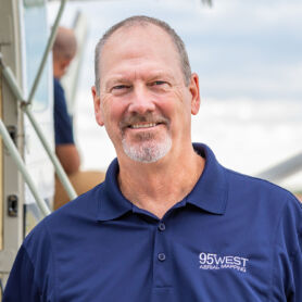
Miles Strain, CP RPP
Aerial Services Manager
Miles Strain is the leader of the 95West Aerial Mapping team. He received his Bachelor of Science in Geography at the University of Wisconsin-River Falls with a minor in Cartography. Miles is an ASPRS certified photogrammetrist with more than 35 years of experience in the Geospatial Industry.
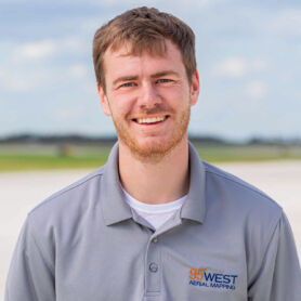
Andrew Werle
Chief Pilot
Andrew is a Commercial Pilot and Unmanned Aircraft Systems operator who has worked for 95West since graduating from the University of North Dakota in 2017. He is responsible for planning and executing manned and unmanned flight missions. Andrew manages the aircraft and equipment operated by 95West and assists with stereo compilation of planimetric features.
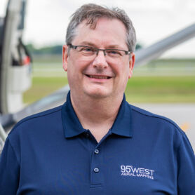
Lon Juergens
Geospatial Imagery Lead
For more than 35 years, Lon has served the Upper Midwest with mapping products and completed projects across the country. Over the last 16 years, he has specialized in orthophoto production delivering detailed and accurate products to both private and public sectors. Lon is responsible for overseeing the data processing procedures relating to the production of highly accurate digital orthophotos used for engineering and transportation design applications.
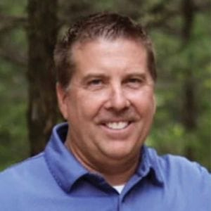
Jim Kolarik
Aerial Mapping Project Manager | Business Development
Jim has more than a decade of experience in the aerial acquisition and mapping production industry. He joins 95West Aerial Mapping as a project manager and in a business development role to expand our geographical reach and expand industry contacts. Jim’s responsibilities will include project management, sales strategies, client relationship management, and networking through trade shows and professional organizations.

Michael Lalla, CP
Photogrammetrist
Mike is responsible for performing aerial-triangulation and map compilation on aerial photography projects. He mentors and provides training for his team and performs quality assurance / quality control. Mike previously worked in the Photogrammetric Unit at MnDOT for 42 years and specializes in Bentley MicroStation and Power Geopak platforms.

Kevin Lalla
Photogrammetrist
Kevin is a Photogrammetrist and a member of the 95West Aerial Mapping team. Kevin’s background includes GIS mapping, ArcGIS data management, and environmental biological science monitoring and observation. He now focuses on assembling our high resolution imaging to lidar data and overall data analysis, processing, and management.
Jason Zilka, CMS
Project Manager
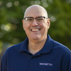
Jason has more than 18 years of experience in aerial mapping, Lidar scanning, GIS, IT, and CADD. He is a Certified Mapping Scientist with American Society for Photogrammetry and Remote Sensing organization and has worked on a range of projects including, Lidar modeling, data compilation and coordination, mapping, and project management.
Andrew Moody, CMT-Lidar
Lidar Processing Technician
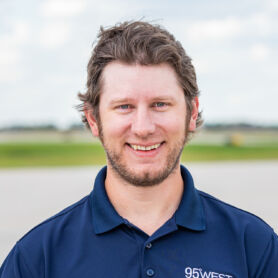
Andrew is a Certified Mapping Technologist in Lidar and brings more than 10 years of experience working with Lidar point clouds of various densities and from multiple platforms. His responsibilities include intake and processing of Lidar data, post processing of point cloud data including classification, feature extraction, and creation of final products, quality control and client communication, and general support for the aerial mapping team.
Casey Olstad
Lidar Technician/Sensor Operator
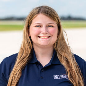
As a Lidar Technician/Sensor Operator, Casey’s responsibilities include working on specialized Lidar surveys, digital orthophotography, and photogrammetry projects. Other tasks include assisting with data processing such as calibration, cleaning and classification, and producing highly accurate mapping for engineering and transportation design applications.
Bryan Balcome, LS
Land Survey Coordinator
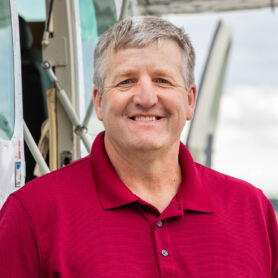
Bryan has more than 26 years of land surveying experience. He oversees all estimating, scheduling, and technical resources necessary for projects with land surveying services. Bryan has a solid foundation and understanding of aerial mapping, which makes him incredibly valuable when planning and executing projects that require coordination between the aerial team and land surveyors with boots on the ground. Bryan holds a professional land surveyor license in MN, ND, SD, IA, NE, and WI.

Andrew Byron, LSIT
Lidar Processing Technician/Surveyor-In-Training
Andrew has more than 10 years of experience in conventional land and airborne survey projects. Andrew uses his surveying background to process Lidar data for 95West’s classification and feature extraction and as general support for the aerial mapping team. Andrew is a certified small unmanned aerial systems remote pilot.

Carter Meidinger
Aerial Technician/Pilot
Carter is a commercial pilot and unmanned aerial system operator. He assists the chief pilot and sensor operator in planning and executing flight missions, and occasionally operates the sensors. Carter also assists with processing data including calibration, classification, and cleaning in order to produce highly accurate mapping for engineering and transportation design applications.

Julia Blum
Geospatial Imagery Technician
Julia joined 95West to continue to develop her GIS and Environmental Sciences work experience through processing digital elevation models (DEM), aerial-triangulation (AT), and imagery data. As a Geospatial Imagery Technician, Julia’s responsibilities include working on specialized Lidar surveys, digital orthophotography, and photogrammetry projects.

George Jordan
Business Development Manager
George has worked in the GIS and surveying profession for more than 20 years and is now focused on business development for 95West Aerial Mapping. His background in working with many city, county, state, mining, and manufacturing clients over the past decades helps him understand their aerial imaging and mapping needs for accuracy, tracking progress and materials, and documenting valuable information.
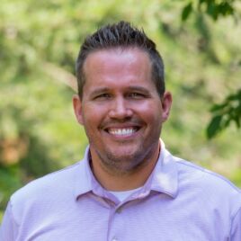
Brady Bussler
sUAS Remote Pilot
Brady is a certified small unmanned aerial systems remote pilot. He understands and follows the regulations, operating requirements, and procedures of the FAA for safely flying drones. Besides flying for aerial mapping and inspections, Brady also captures aerial photographs and videos for a variety of client needs. He produces informative videos to help clients clearly communicate their vision to project stakeholders and the community.

Kylee Conner
sUAS Remote Pilot
Kylee is a certified small unmanned aerial systems remote pilot. She assists the aerial team by capturing high resolution images and video for a variety of projects. Kylee follows the regulations, operating requirements, and procedures of the FAA for safely flying drones. She also assists Brady with all aspects of the video production process.

Eric Lennartson, LEED AP
Marketing Specialist
Eric works with the 95West Aerial Mapping team on marketing opportunities, conference presentations, advertising, communications, and website updates. Eric has degrees in both art and architecture and uses those skills to bridge the aesthetics and quality of the aerial imaging with the technical detail and accuracy of lidar data in developing the communications and messaging for 95West’s projects and team.
