Are your aerial maps just a picture from the past or are they ready for the future?
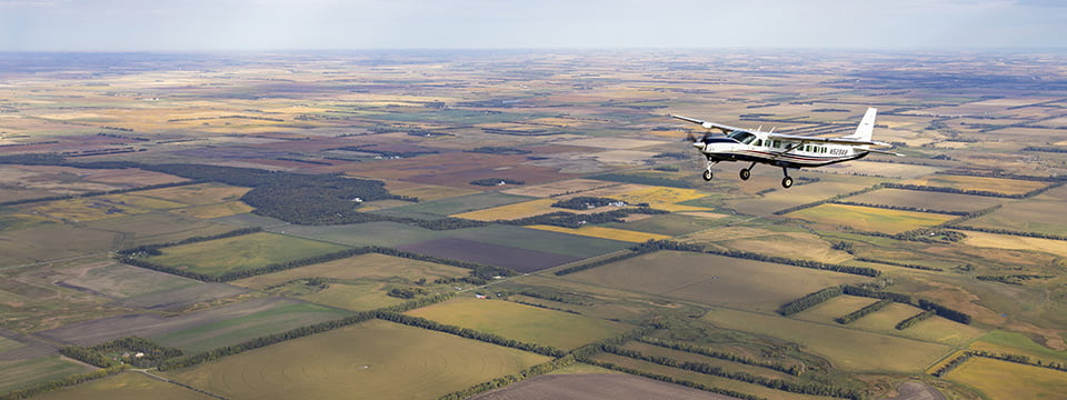
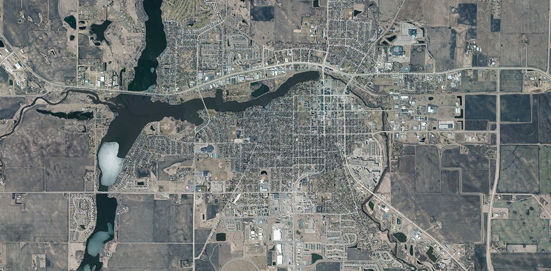
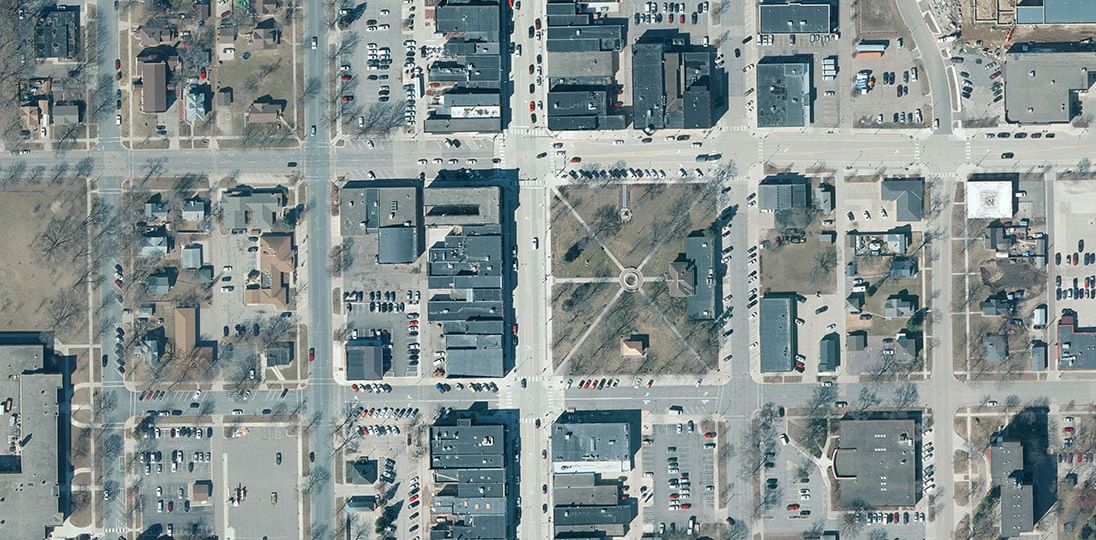
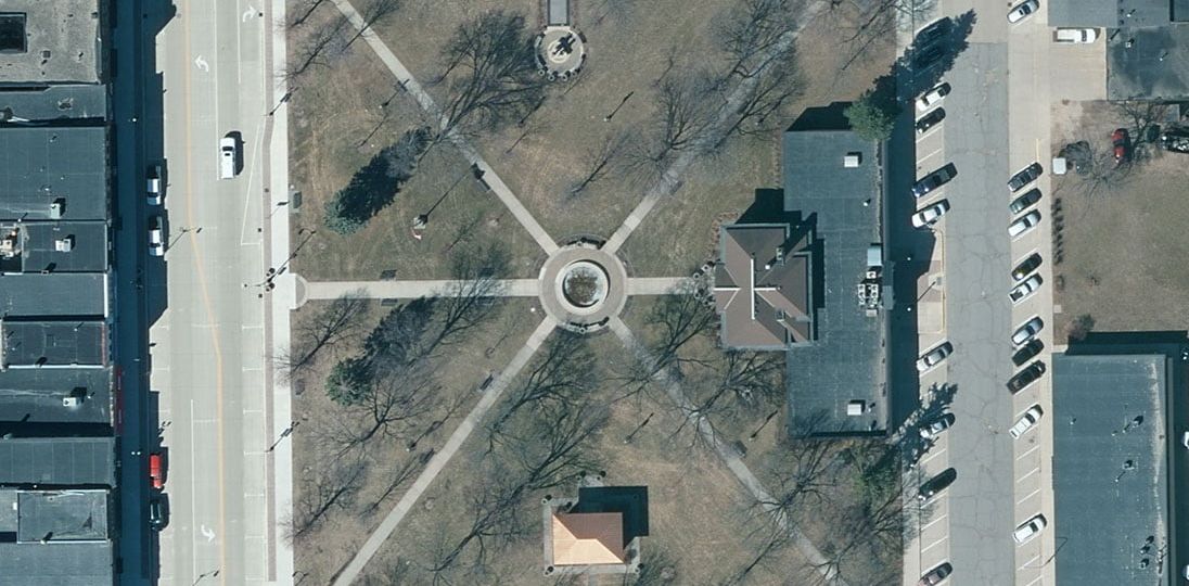
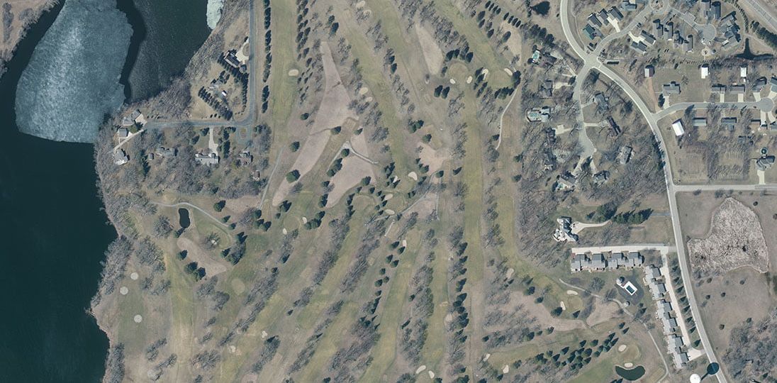
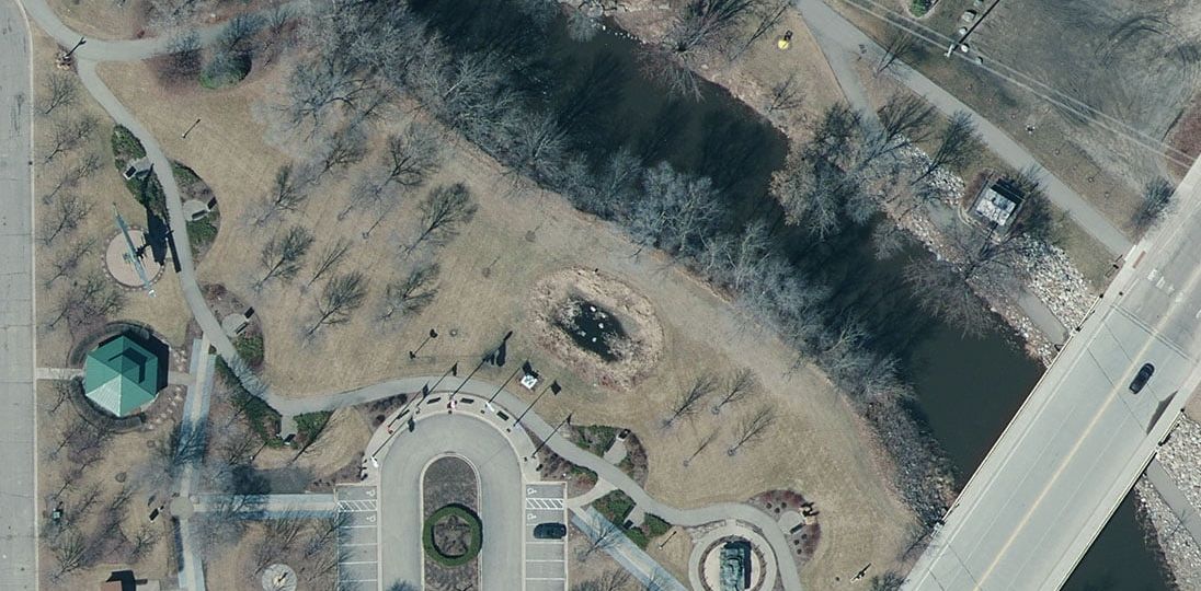
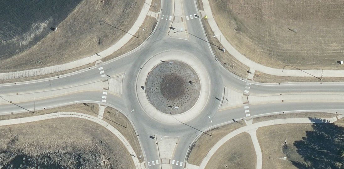
County-wide aerial maps and photos are an everyday resource for county and city staff for big picture planning and detailed inventory or property records. More aerial acquisition options are available today that offer considerable detail and integration with GIS systems. To help you prepare for the future, 95West can capture large-format imagery and high-density lidar simultaneously in a single flight, resulting in greater detail and in much less time than smaller planes, drones, or UASs. Depending on the county scale, imaging resolution, sun angle, and atmospheric weather conditions, 95West can fly an entire county in a few hours or a couple days.
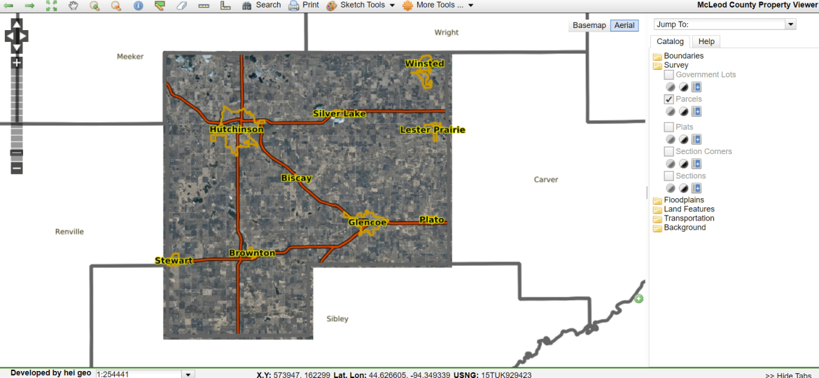
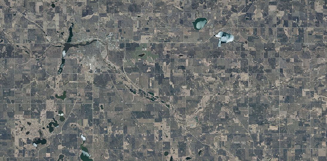
McLeod County updates its aerial data and imagery about every four years, regularly documenting incremental changes to the county over time. Their latest county-wide mapping project went live last summer, but their preparations were years in the making. 95West worked with the county and planned the project to meet their needs for image resolution, data integration with their GIS systems, schedule, and budget.

Technology Integration:
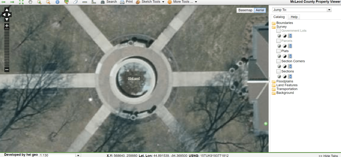
With the variety of software and GIS system options on the market, finding compatibility between municipalities and consultants can be a challenge. “95West was helpful with every component of the collection and delivery of our project. They provided samples for review for a variety of delivery formats and tiling schemes, which helped us integrate and optimize how we use the images and data in our county-wide GIS systems,” said Christy Christensen, GISP, McLeod County GIS Manager and Minnesota Counties GIS Association (MCGISA) President.
Schedule:
Setting up the right schedule can be key to a project’s success. Everyone wants their images captured right after the snow melts and before trees grow new leaves, to get the best ground topography without the tree canopy blocking everything under it. Setting those flight dates can be very competitive. Every detail must be decided to get the right flight path, file type, and system integration before the flights can be scheduled. Planning early gets your project scheduled in the best possible time with our aerial capture team.
“After months of coordination and integration testing, 95West coordinated the best leaf-off window dates that helped us capture the best images for our online mapping,” said Christensen. McLeod County’s preparation gave 95West a more flexible schedule and allowed an earlier flight date under better weather conditions, resulting in clearer images and better data, without worrying about some snow piles or ice on the lakes. Later in the year, Canadian Wildfires made capturing clear images almost impossible.
Funding:
One of the major challenges to gathering large-scale mapping projects is funding. McLeod County reached out to their municipalities and shared the costs with area cities and townships. “By collaborating on the aerial collection, local cities got more detailed data and images from 95West’s latest technology, and everyone received a greater value for the project costs,” said Christensen.
Results:
With new aerial images, lidar data, and GIS information documented and cataloged, McLeod County can effectively communicate to its residents, developers, and businesses about planning and future decision-making. “I had an exceptional experience working with 95West and presented the results of our successful collaboration at an MCGISA meeting last year,” Christensen added.


